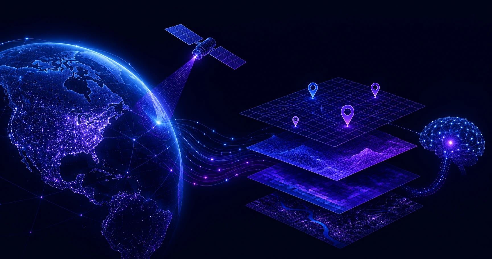
A clear, expert overview of Snap Geospatial, a geospatial artificial intelligence company, covering its technology, workflow, industries served, and why location-aware AI matters.
Snap Geospatial Artificial Intelligence Company Overview
Geospatial artificial intelligence is quietly reshaping how organizations understand the physical world, and companies like Snap Geospatial sit at the center of that shift. Instead of treating maps as static images, these firms turn satellite feeds, sensor data, and location records into predictive intelligence that guides real decisions on the ground. This overview explains what a geospatial AI company such as Snap Geospatial does, how its technology works, and where it delivers measurable value.
Whether you are evaluating a vendor, researching the space for a project, or simply curious about how location data becomes actionable insight, this guide breaks it down in plain language backed by real industry context. For broader technology insights, resources like ZoneTechify and WebPeak publish practical guidance on AI adoption.

Quick Answer: Snap Geospatial is a geospatial artificial intelligence company that combines satellite imagery, sensor data, and machine learning to turn location information into predictive insights. It helps organizations in agriculture, logistics, urban planning, and environmental monitoring make faster, data-driven decisions using automated spatial analysis.
What Is Snap Geospatial?
Snap Geospatial is a geospatial artificial intelligence company that specializes in analyzing location-based data at scale. In simple terms, it applies machine learning models to spatial datasets, imagery captured from satellites, drones, and IoT sensors, so that raw geographic information becomes clear, decision-ready intelligence.
The defining trait of a company like Snap Geospatial is that it does not just display where things are. It explains what is changing, why it matters, and what is likely to happen next. That predictive layer separates modern geospatial AI from traditional mapping software, which mostly visualizes historical data without interpreting it.
What Does Geospatial Artificial Intelligence Actually Do?
Geospatial artificial intelligence, often shortened to GeoAI, is the practice of applying AI and machine learning techniques specifically to spatial and location data. It detects patterns across geography and time that humans would struggle to spot manually across millions of data points.

Core capabilities of a geospatial AI company
- Object detection: Automatically identifying roads, buildings, crops, ships, or vehicles in satellite and aerial imagery.
- Change detection: Comparing images over time to flag deforestation, construction, flooding, or urban expansion.
- Predictive modeling: Forecasting outcomes such as crop yield, wildfire risk, or supply chain disruption based on spatial patterns.
- Spatial classification: Sorting land into categories like farmland, water, forest, or built-up area for planning and reporting.
- Real-time monitoring: Tracking assets and environmental conditions continuously rather than through occasional manual surveys.
Each of these capabilities replaces slow, manual interpretation with automated analysis that scales across entire regions or countries.
Inside Snap Geospatial's Technology Stack
A geospatial AI company is only as strong as the technology behind it. Snap Geospatial style platforms typically combine several layers that work together to convert imagery and sensor readings into usable insight.
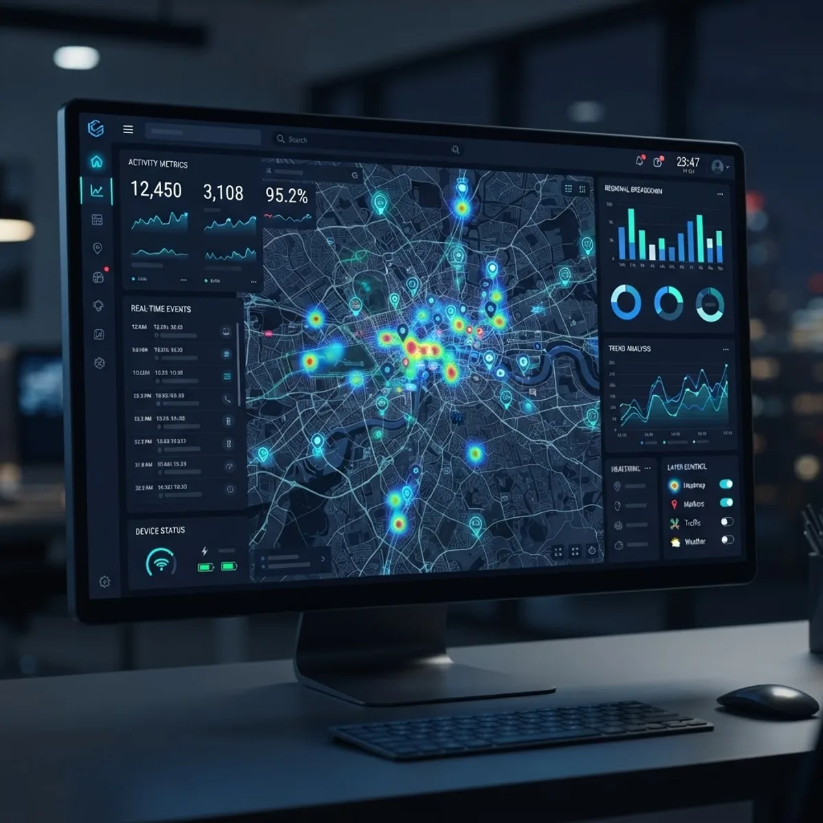
The foundation is a data ingestion layer that pulls in satellite imagery, aerial photography, GPS records, and IoT sensor streams. On top of that sits a processing layer using computer vision and deep learning models trained to recognize spatial features. Finally, an analytics and visualization layer delivers dashboards, alerts, and APIs that teams actually use day to day.
Building and maintaining this kind of stack requires deep expertise in machine learning operations and data engineering. Organizations that lack that in-house capability often partner with specialists such as ZoneTechify's artificial intelligence services or WebPeak's AI services to design, train, and deploy custom models responsibly.
How Snap Geospatial's AI Workflow Works
Understanding the workflow makes it easier to judge whether a geospatial AI solution fits your needs. While details vary, the process generally follows five clear steps.
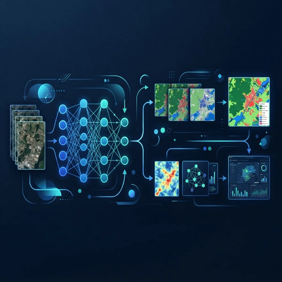
- Data acquisition: The platform collects imagery and location data from satellites, drones, and ground sensors.
- Preprocessing: Raw images are corrected for cloud cover, lighting, and distortion so models receive clean inputs.
- Model inference: Trained deep learning models scan the data to detect, classify, and measure features of interest.
- Analysis and prediction: Results are combined with historical trends to generate forecasts and risk scores.
- Delivery: Insights reach users through dashboards, automated alerts, or integrations with existing business systems.
This pipeline can process areas that would take human analysts weeks in a matter of hours, which is exactly why demand for geospatial AI keeps rising.
Industries Snap Geospatial Serves
The strength of geospatial AI is its versatility. Because nearly every industry operates in physical space, location intelligence applies almost everywhere.
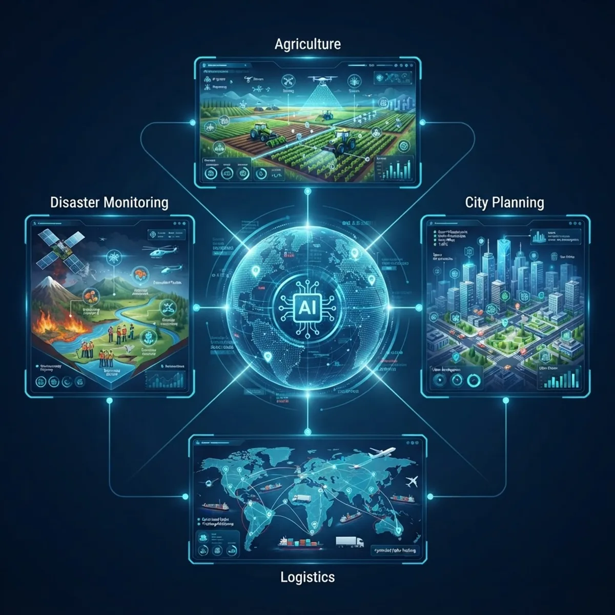
- Agriculture: Monitoring crop health, soil moisture, and yield forecasts to guide precision farming decisions.
- Logistics and supply chain: Optimizing routes, tracking fleets, and predicting delays across transport networks.
- Urban planning: Mapping growth, infrastructure needs, and zoning changes for smarter city development.
- Insurance: Assessing property risk from flooding, wildfire, or storm exposure using current imagery.
- Environmental monitoring: Tracking deforestation, emissions, water levels, and disaster response in near real time.
Traditional GIS versus geospatial AI
| Factor | Traditional GIS | Geospatial AI (Snap Geospatial) |
|---|---|---|
| Analysis type | Manual, historical | Automated, predictive |
| Speed | Days to weeks | Minutes to hours |
| Scale | Limited by analysts | Region or country wide |
| Insight depth | Descriptive maps | Forecasts and risk scores |
| Update frequency | Periodic | Near real time |
The table shows why organizations increasingly move beyond legacy mapping tools toward AI-driven platforms that interpret data automatically.
Remote Sensing and Data Sources
Remote sensing is the backbone of any geospatial AI company. It refers to collecting information about the Earth's surface without physical contact, primarily through satellites, aircraft, and drones equipped with specialized sensors.
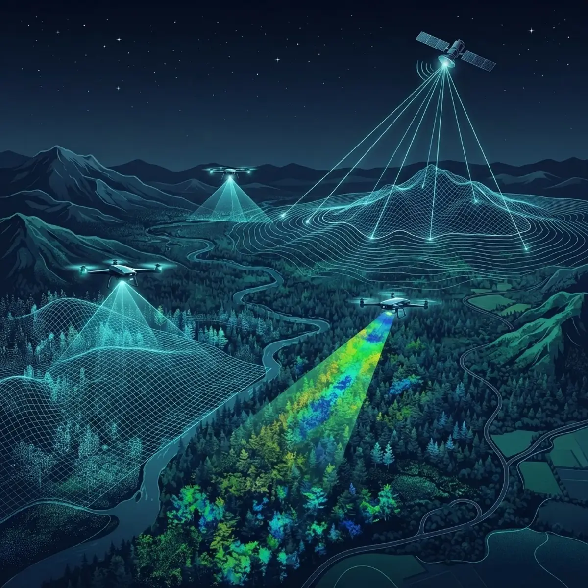
Snap Geospatial style platforms typically blend several data sources for accuracy. Optical imagery captures visible detail, radar penetrates clouds and darkness, and multispectral sensors reveal plant health or water content invisible to the human eye. Combining these feeds gives models a richer, more reliable view than any single source alone.
The quality of these inputs directly shapes output accuracy. This is why leading geospatial AI firms invest heavily in data validation, ensuring their models are trained on clean, well-labeled datasets that reflect real conditions rather than noise.
Why Geospatial AI Matters Now
The timing behind the rise of companies like Snap Geospatial is not accidental. Both data availability and market demand have surged in parallel over the past decade.
According to MarketsandMarkets, the global geospatial analytics market is projected to grow from roughly USD 78 billion in 2024 to around USD 141 billion by 2029, reflecting strong double-digit annual growth. That expansion is fueled by cheaper satellites, better sensors, and more accessible cloud computing.
Just as important, industry analysts have long estimated that up to 80% of all data contains a location component, whether it is an address, a coordinate, or a sensor reading tied to a place. That means the vast majority of organizational data can be enriched with spatial context, and geospatial AI is the tool that unlocks it. Companies that ignore this location layer leave a huge portion of their data value untapped.
The Future of Snap Geospatial and Geospatial AI
The next phase of geospatial AI points toward greater automation, faster refresh rates, and tighter integration with everyday business tools. As satellite constellations grow and imagery becomes near continuous, platforms like Snap Geospatial will shift from periodic snapshots to living digital twins of entire regions.

Expect three trends to accelerate. First, real-time analysis will become standard as edge computing processes imagery closer to where it is captured. Second, natural language interfaces will let non-experts ask spatial questions in plain English and receive instant answers. Third, responsible AI practices, including transparency about data sources and model limitations, will become a competitive differentiator as adoption spreads into regulated sectors.
For organizations weighing an investment, the practical takeaway is clear. Geospatial AI is moving from a specialized niche to a mainstream decision-making tool, and early adopters are already building durable advantages in efficiency and foresight.
Key Takeaways
- Snap Geospatial is a geospatial artificial intelligence company that turns satellite, drone, and sensor data into predictive, location-based insights.
- GeoAI adds a predictive layer that traditional GIS lacks, automating detection, classification, and forecasting across large areas.
- The geospatial analytics market is projected to reach around USD 141 billion by 2029, per MarketsandMarkets.
- Analysts estimate up to 80% of data has a location component, making spatial intelligence broadly valuable.
- Key industries include agriculture, logistics, urban planning, insurance, and environmental monitoring.
- Remote sensing and clean, well-labeled training data are the foundation of accurate geospatial AI output.
Frequently Asked Questions (FAQ)
What does Snap Geospatial do?
Snap Geospatial applies artificial intelligence to location and imagery data. It analyzes satellite, drone, and sensor inputs to detect changes, classify land, and forecast outcomes, helping organizations make faster, more accurate decisions about the physical world across agriculture, logistics, planning, and environmental monitoring.
How is geospatial AI different from traditional GIS?
Traditional GIS mainly visualizes historical spatial data on maps. Geospatial AI goes further by automatically detecting patterns, classifying features, and predicting future outcomes. It processes vast areas in hours rather than weeks, adding a predictive intelligence layer that legacy mapping software simply cannot provide on its own.
What industries benefit most from geospatial AI?
Agriculture, logistics, urban planning, insurance, and environmental monitoring benefit most. Any sector that operates in physical space can use location intelligence to optimize routes, assess risk, monitor assets, or forecast conditions. Because most organizational data has a location component, the potential applications are extremely wide.
What data sources does a geospatial AI company use?
Geospatial AI companies combine satellite imagery, aerial and drone photography, GPS records, and IoT sensor streams. They often blend optical, radar, and multispectral data so models stay accurate through clouds, darkness, and changing conditions. Clean, well-labeled datasets are essential for reliable predictions.
Is geospatial AI worth investing in for businesses?
For most data-driven organizations, yes. With the geospatial analytics market projected near USD 141 billion by 2029 and most data carrying location context, geospatial AI unlocks insight that would otherwise stay hidden. Early adopters gain efficiency, better risk assessment, and stronger forecasting advantages over competitors.
Geospatial artificial intelligence has moved from experimental technology to essential infrastructure, and companies like Snap Geospatial demonstrate how location data becomes real competitive advantage. If you are exploring AI adoption for your own organization, start by identifying where location context already lives in your data, then partner with experienced specialists to turn that data into decisions.